S503 fire
The S503 fire began on Friday, June 18, 2021. As of July 12 the fire was 98% contained, mopped up and being monitored. Further details are available from the Inciweb web site here.
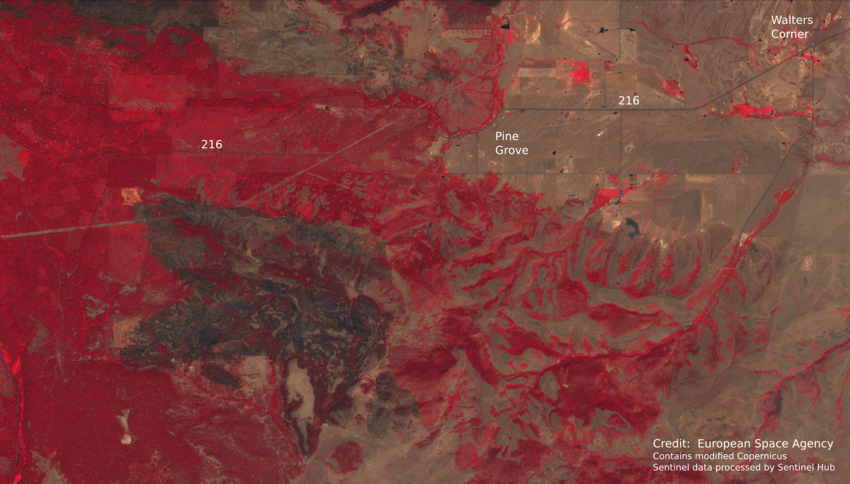
The impact of the fire can be appreciated in this false-color satellite photograph of our area taken on 13 July 2021 by the European Space Agency's Sentinel 2 satellite. In this image, green vegetation is rendered in red colors and the burned area is black. Pine Grove is top center and Walters Corner is in the upper right corner. For scale, Pine Grove is about 5 miles from Walters Corner.

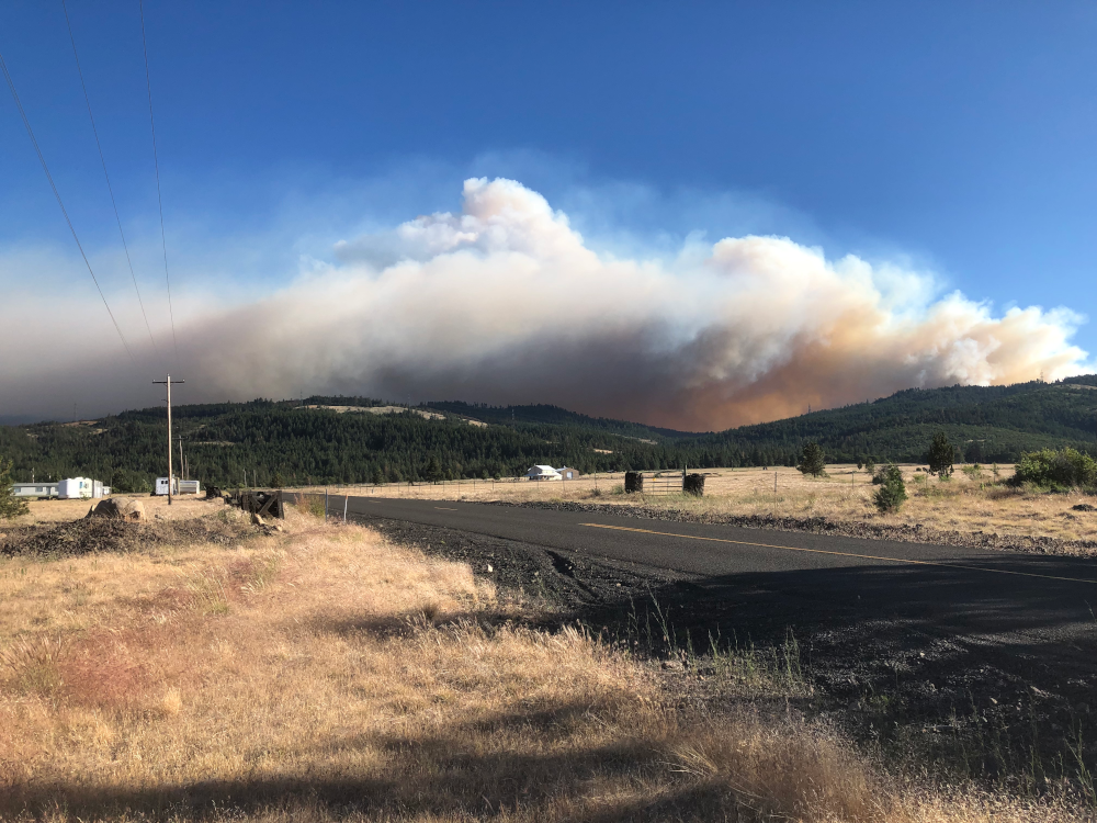
The S503 fire viewed from Station 3 (Pine Grove) on the afternoon of Sunday 20 June 2021. Engines and crews were staged at Station 3 in case the fire came over the ridge and descended onto the Flat. Their primary mission was structure protection in Pine Grove, along Back Walter Road and in the Byzantine Gulch area. Favorable winds kept the fire out of our district.

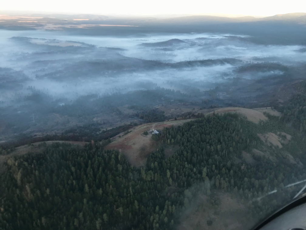
Aerial view of S503 looking south over Foreman's point taken early morning 23 June 2021. Retardant drops are visible around the microwave station.
