Larch Creek fire
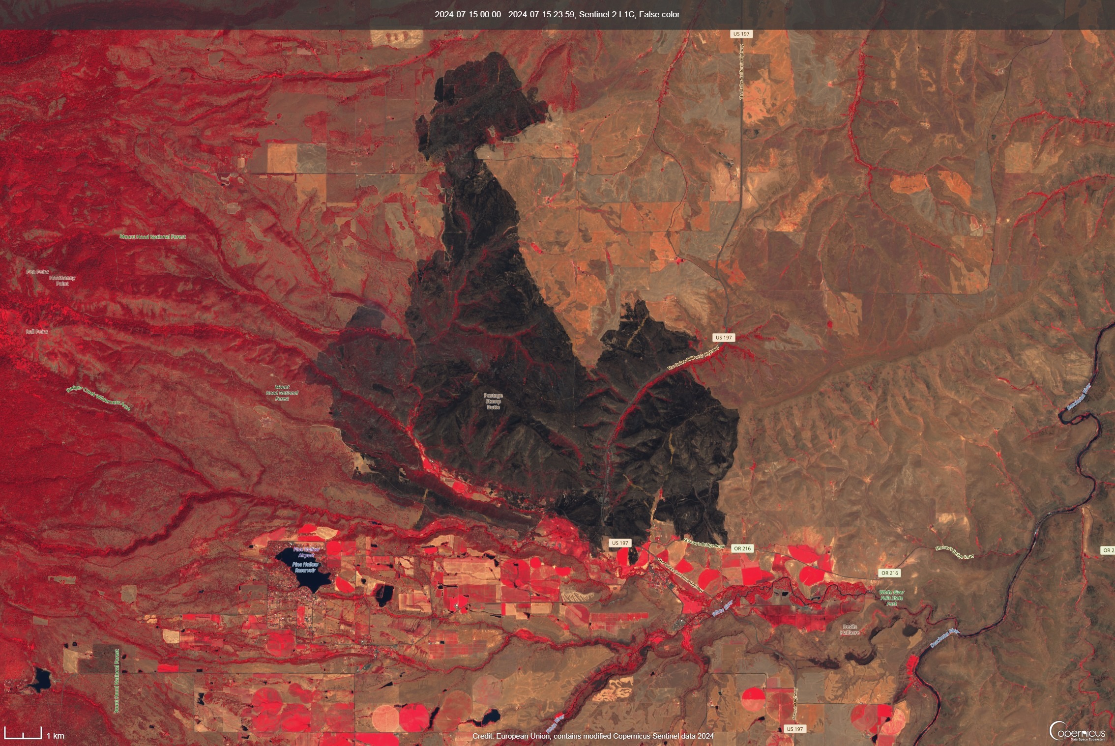
This fire began on July 9, 2024 and by the next day had burned about 9,000 acres. The image below is a false color satellite image showing the full extent of the fire scar (18,300 acres). The fire began to the northeast of Friend and was driven rapidly by winds to the south, finally descending Tygh Ridge and threatening Tygh Valley.

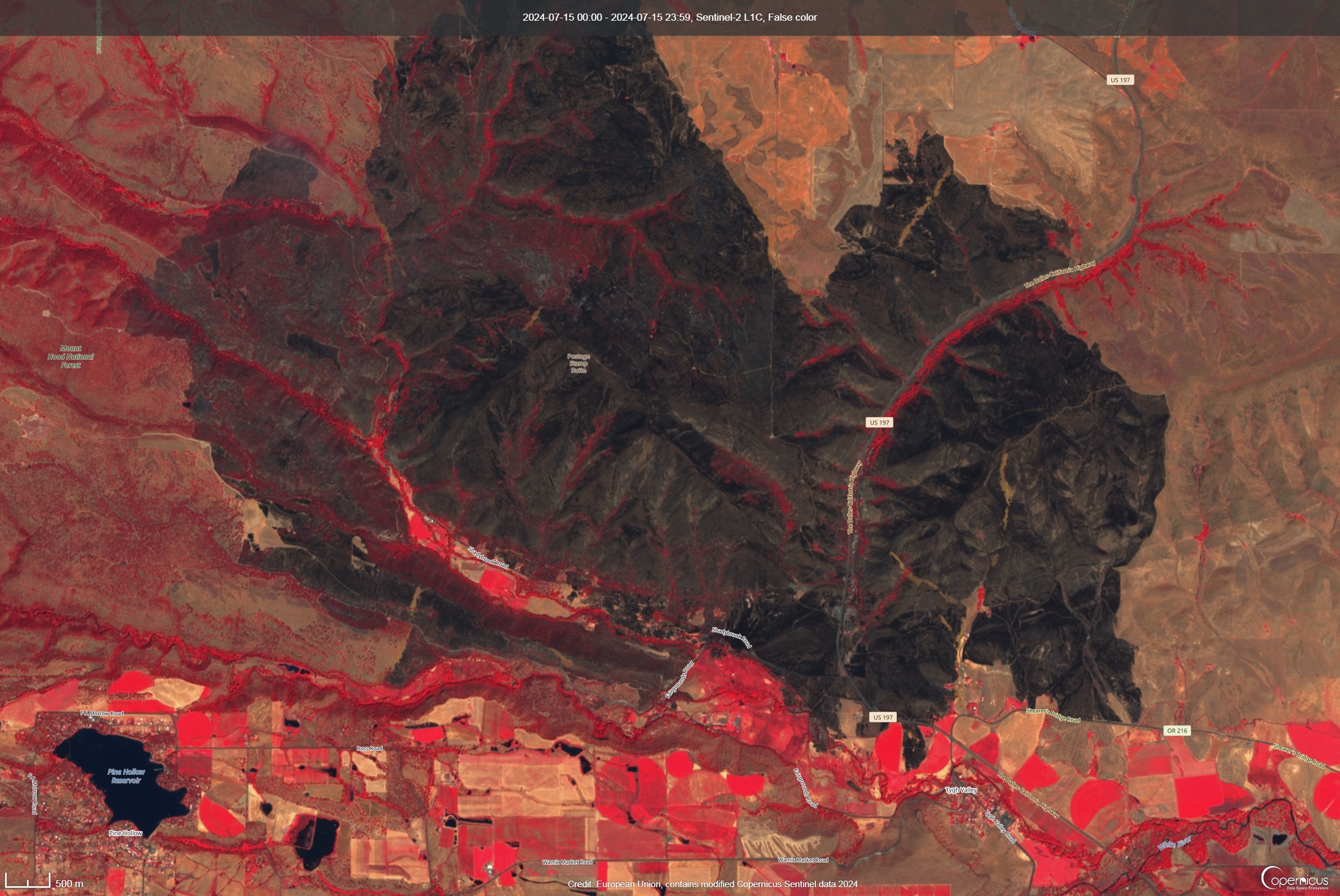
The fire was held in the southeast largely to highway 216, where Juniper Flat RFPD played a prominent role in stopping the fire and protecting structures. In the southwest, the fire was largely held at Badger Creek and Fairgrounds Road. The image below shows somewhat more detail of the southern edge of the fire.
